Experiences
A handpicked selection of experiences endorsed by our experts. If you can’t see what you’re looking for, let us know, as our extensive network of local contacts can open many doors.
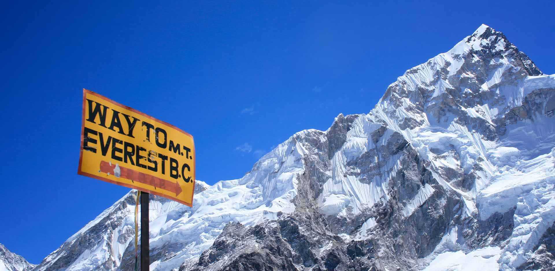
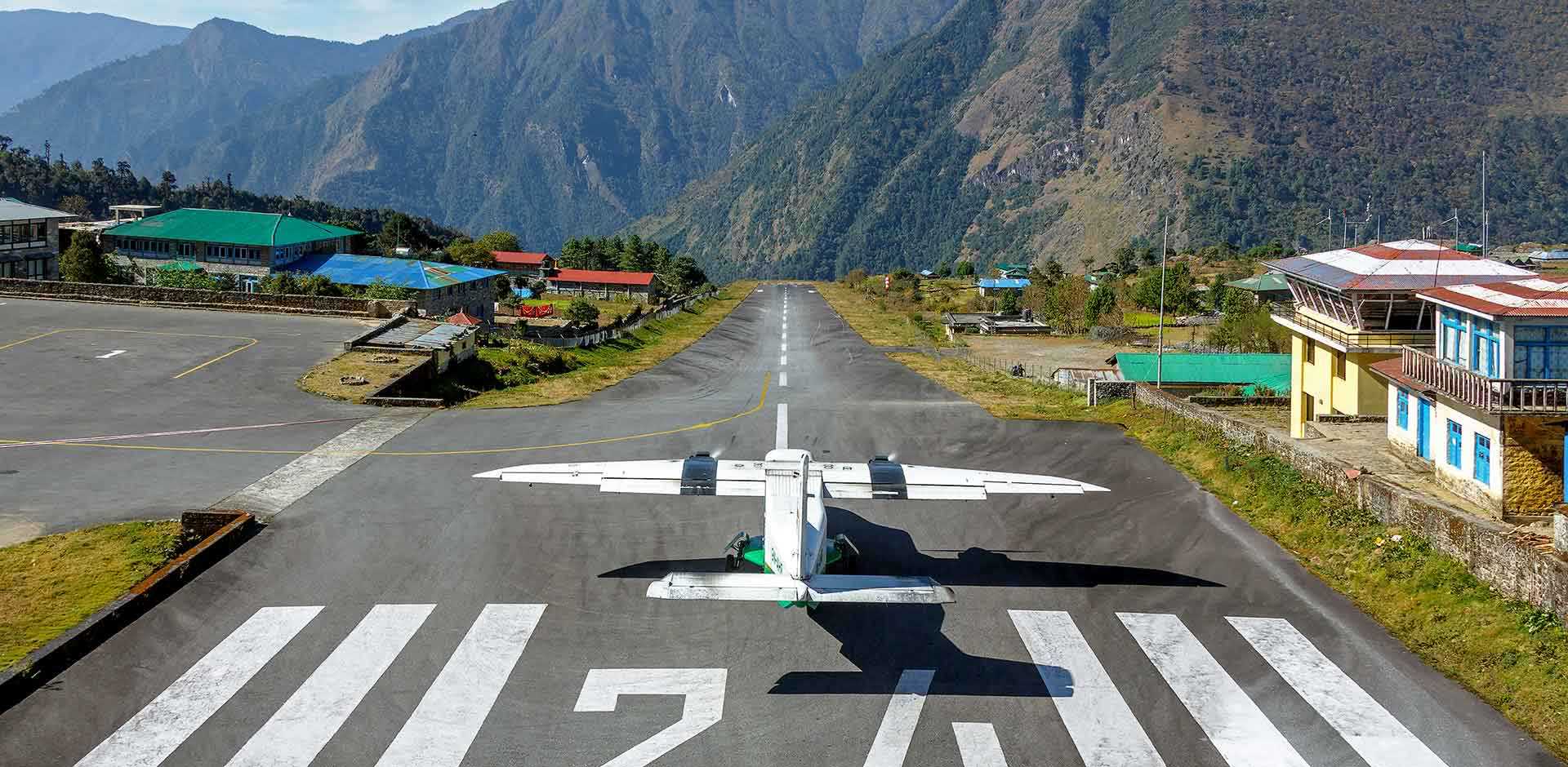
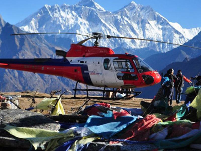
Lukla
A popular base from which trekkers start their climb to Everest Base Camp, or even Everest itself, Lukla is a town that is completely devoid of roads and vehicles of any type – even motorbikes. While there is an airport in town, named after Sir Edmund Hillary and Tenzing Norgay, the first two men to summit Everest, most transportation relies on yak. In addition, the Tenzing-Hillary Airport is home to a deep drop of 6,600 feet (2,011 meters) at the southern end of the runway – making Lukla one of the world’s most exciting (and hair-raising) airports. There is a small daily market where you will find Chinese-made tchotchkes and Tibetan clothing brought over by Tibetan vendors through Himalayan passes connecting Tibet and Nepal. Be sure to stop in the town’s famous German bakery, the go-to place for trekkers craving western pastries, desserts and even pizza.
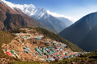
Namche Bazaar
A bustling village of about 1,500 residents, mostly Tibetans, Namche is located at 12,303 feet (3,750 meters) on the main trekking route up to Mount Everest. Namche is one of the last villages on the way to Everest, and is filled with shops, restaurants, and lodges. Visitors should note that, while Namche does have its own airport that operates charter flights, flying straight into Namche is not recommended – simply because acclimatization is required, and ideally should take place over a matter of days.
Trek to Monjo
After landing, have a relaxing cup of tea and unwind before beginning your trek to Monjo, your first stop in the Everest region. A steep suspension bridge over the Bhote Kosi river leads the way into the valley, where your trek continues upstream towards Monjo, where you will spend the night. You will catch a glimpse of traditional Nepalese life along the way as you pass by fields of potatoes and other vegetables hearty enough to grow in this harsh climate, as well as an occasional yak or two. Potato and buckwheat are the principal crops of the region.
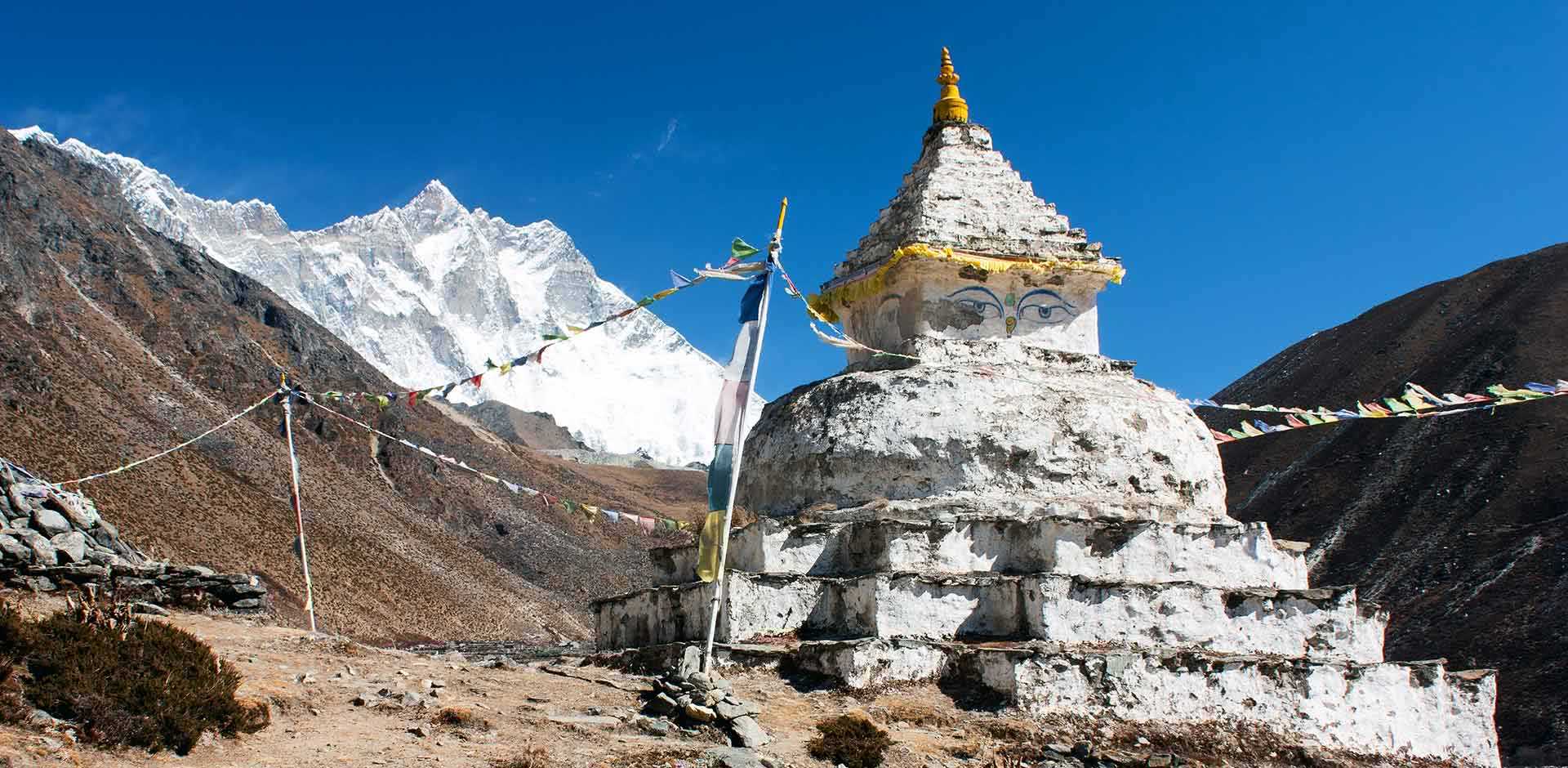
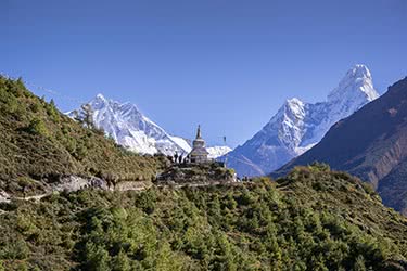
Tengboche
At 12,687 feet (3,867 meters), Tengboche is the next stop after Khumjung and Khunde on the trek to Everest Base Camp. Best known for its eponymous gompa, or Buddhist monastery, Tengboche is also famous for being the birthplace of Tenzing Norgay, who, in his youth, was a monk here. While Tengboche was originally built in 1923, it still stands today, and is home to over 60 monks.
Khumjung & Kunde
The small villages of Khumjung and Kunde are located in the Khumjung Valley at the foot of Khumjung Khumbi Yul Lha, the sacred mountain of the Sherpas. Notable stops include Kunde Hospital, founded by Sir Edmund Hillary in 1966, Khumjung School (also known as Hillary School) founded in 1961, and several small Buddhist monasteries including one that very proudly displays (what it claims is) the scalp and hair of a Yeti.
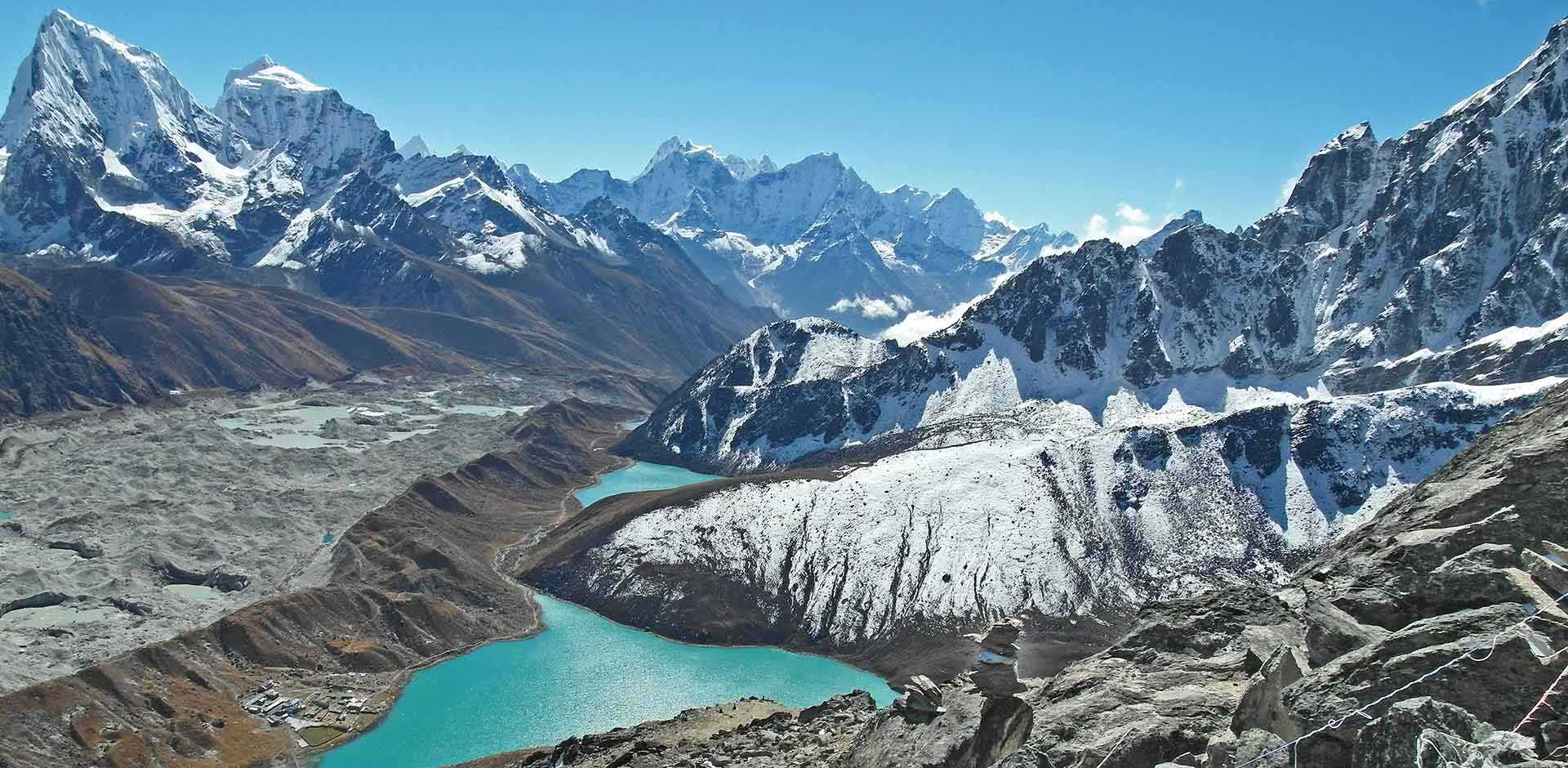
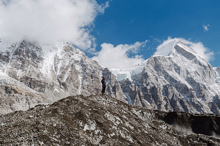
Gokyo Ri
Well known as an amazing trekking destination in Nepal, it sits over 17,000 feet above sea level. It’s on the west side of the Ngozumpa Glacier, which is the largest glacier in Nepal. At the base of Gokyo Ri is one of the highest settlements of humans in the entire world. From Gokyo Ri, Remote Lands clientele can see 5 peaks of 8,000 feet including Mount Everest, Makalu, Cho Oyu, Lhotse and Kangchenjunga.
Another trekking route here begins from the southernmost edge of Ngozumpa Glacier which is south of Taujun Lake, heads east over Cho La Pass at 5,400 meters, and then intersects with the main Mount Everest Base Camp trekking trail.
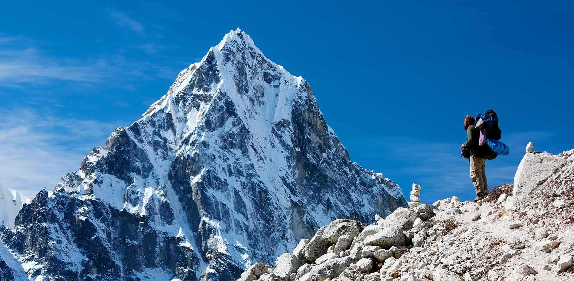
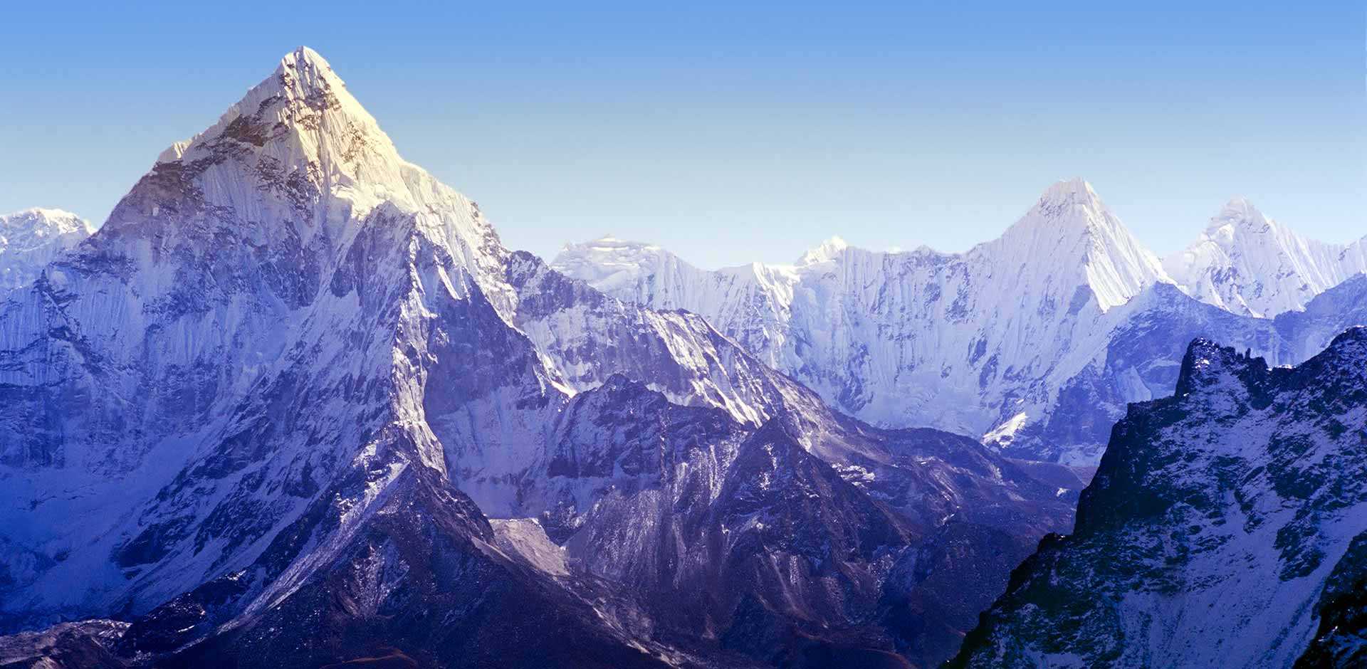
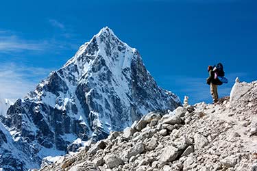
Ama Dablam
This stunning mountain wasn't tamed until 1961, when Mike Gill and Wally Romanes of New Zealand, Mike Ward of the UK and American Barry Bishop made it to the summit, which stands at 22,349 feet. They were a part of Sir Edmund Hillary’s “Silver Hut Scientific Expedition.”
Ama Dablam means “Mother’s necklace.” A “dablam” is a double-pendant which contains pictures of the gods worn by Sherpa women. Remote Lands clientele trekking to the Mount Everest Base Camp will see this mountain for two days during their trek from Lukla.
Ama Dablam is the third most popular expedition in terms of those applying for permits to climb it. The best months to climb are April to May and then September to October. It is often called “The Matterhorn of the Himalayas.” Trekkers who are also photographers will be astonished.